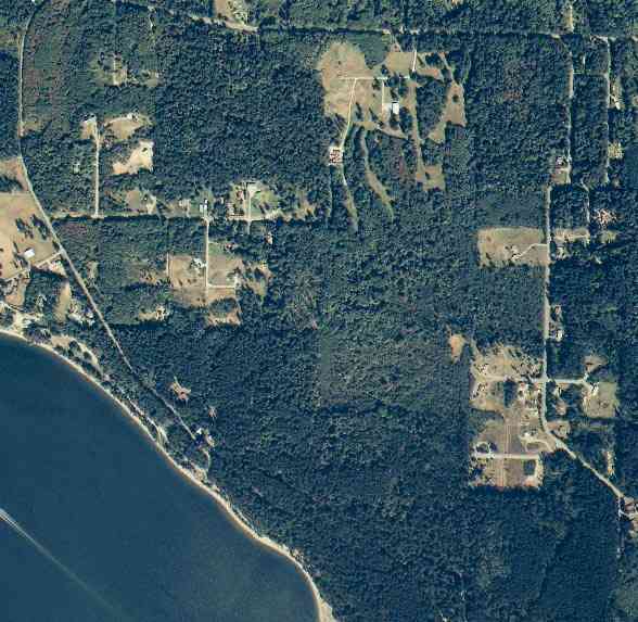
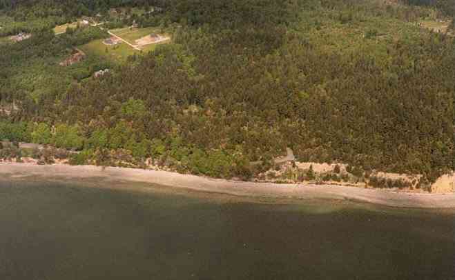
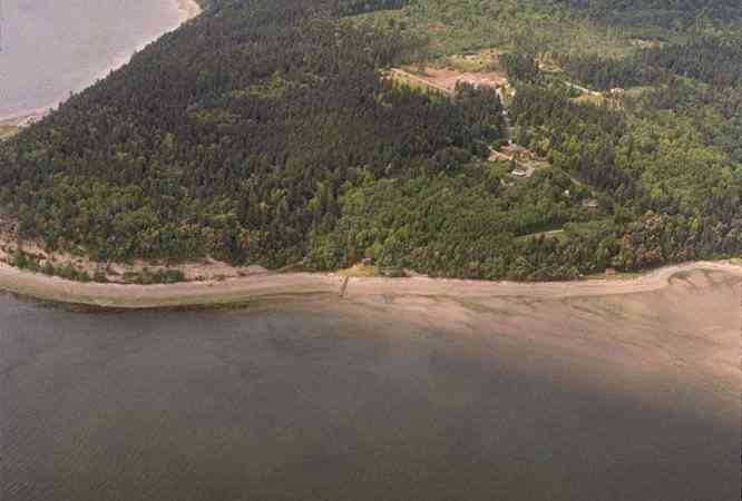
The above September 1997 aerial photo of this section of Camano is from http://www.islandcounty.net/publicworks/digitalphotos/mainmap.htm
The above September 1997 aerial photo of this section of Camano is from
http://www.islandcounty.net/publicworks/digitalphotos/mainmap.htm
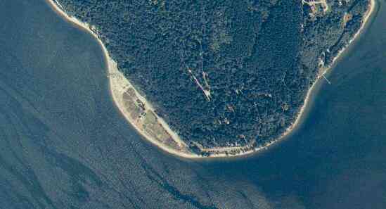
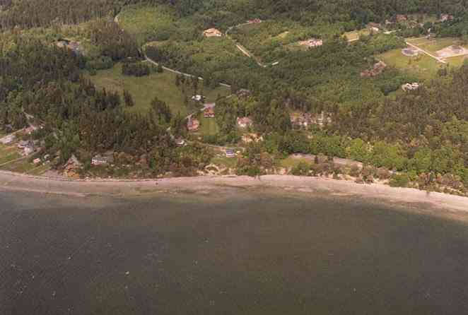
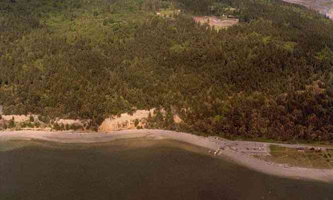
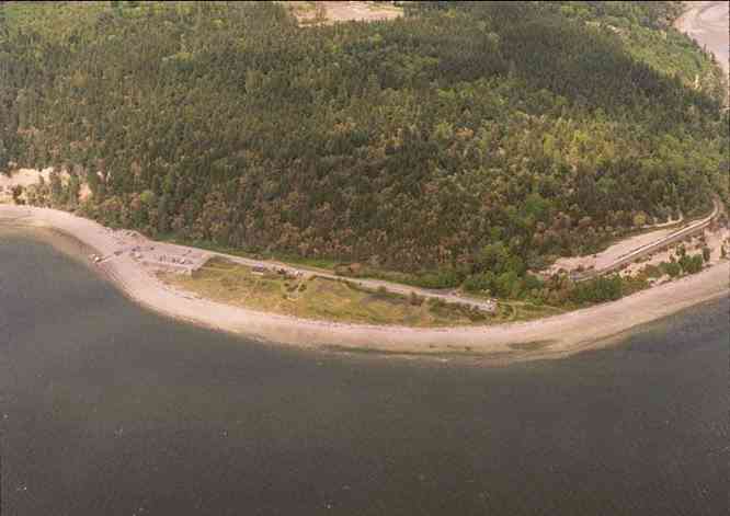
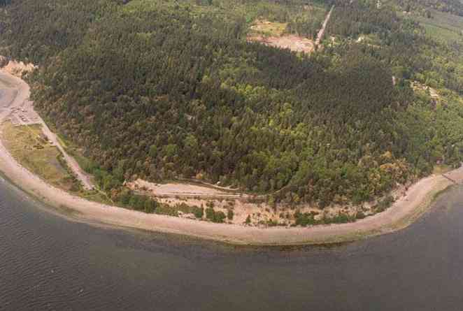
The below 5/8/1993 2:30:00 PM aerial photos are from:
http://apps.ecy.wa.gov/shorephotos
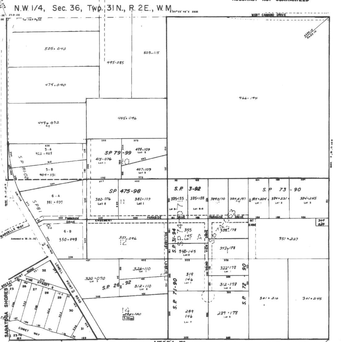
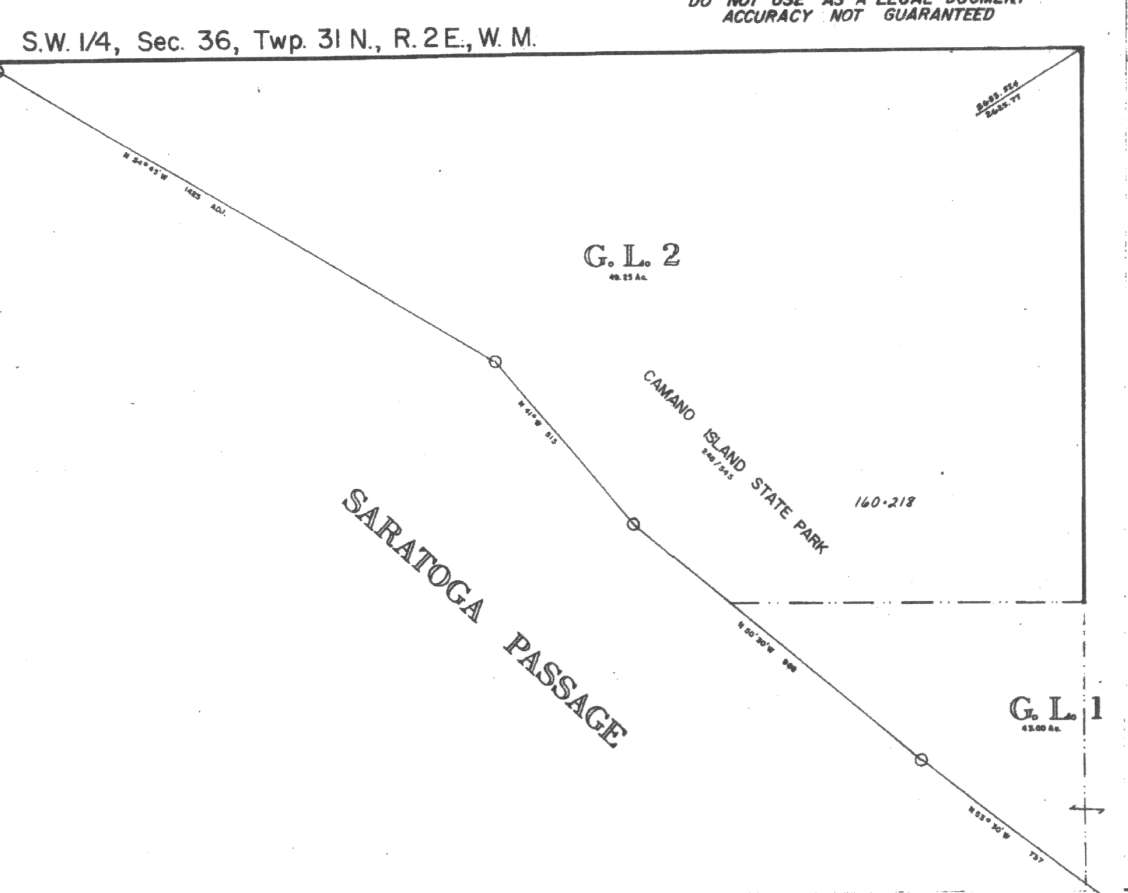
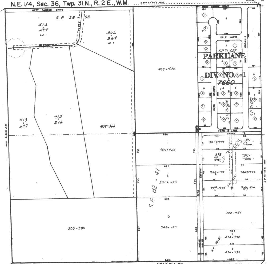
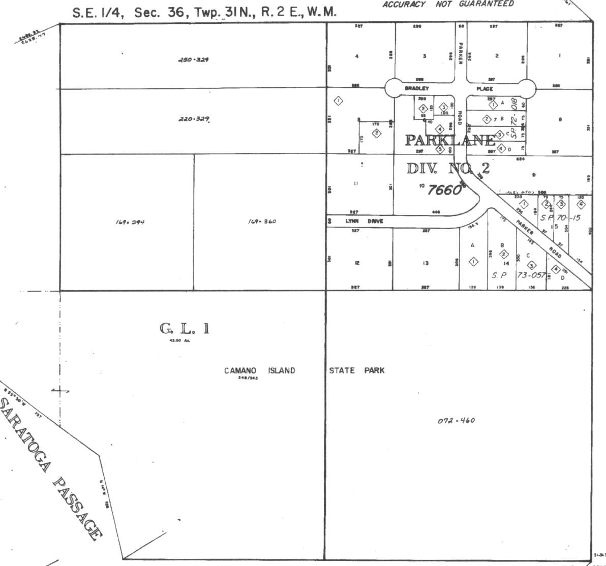
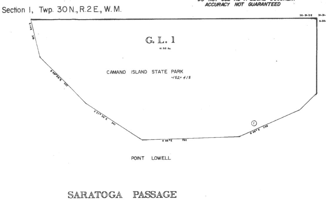
A square system of surveying was ordained by the Continental Congress on May 20, 1785. Within each township (6 miles X 6 miles), are 36 sections. Each section of 640 acres is one mile square (5,280 feet X 5,280 feet). Each quarter section is 160 acres (2,640 feet X 2,640 feet). Most long straight roads and acreage pieces of property have north-south, east-west property lines.
Click on the below Camano section map numbers, to go to a page with Camano Island 2005 assessor data, 1/4 section parcel maps, and aerial photos.
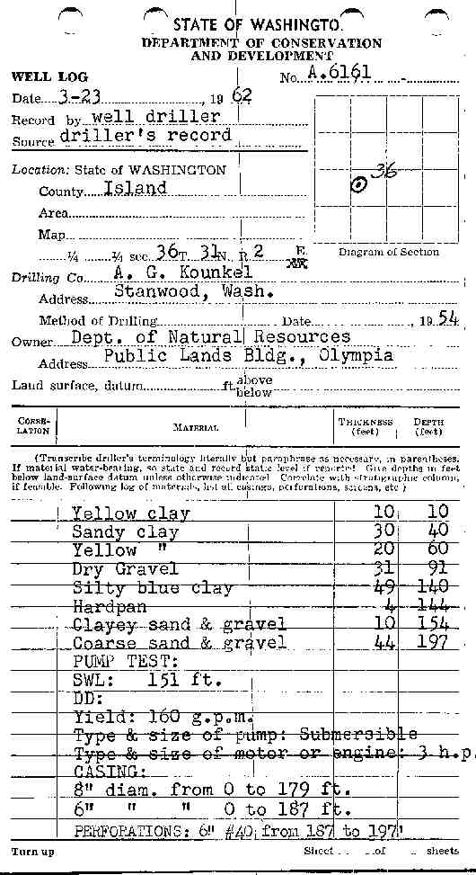
Below are the 4 well reports for this section of Camano, from the December 2004 Washington State Department of Ecology Well log website. Included below is who the well was drilled for, the well depth, and when the well was drilled. At the well log website,
http://apps.ecy.wa.gov/welllog/ more detailed information is available, like the well drillers name, water temperature(sometimes), and soil profile depths.
The below well logs information is from the Washington State Department of Ecology Well log website.
http://apps.ecy.wa.gov/welllog/
 <777>
<777>

TOM NICKELS
Public Land Survey: SE, NE, S-36, T-31-N, R-02-E
County: ISLAND, Well Address: 2140 S PARKER LN, CAMANO ISLAND
Well Log ID: 85330 , Notice of Intent Number: 070360
Well Diameter: 6 (inches), Well Depth: 380 (feet)
Well Type: Water, Well Completion Date: 9/7/1990, Well Log Received Date: 10/9/1990
IHLER CONSTRUCTION
Public Land Survey: NW, NW, S-36, T-31-N, R-02-E
County: ISLAND, Well Address: 2007 LOWELL POINT, CAMANO ISLAND 98282
Well Log ID: 345902, Well Tag ID: AGF408, Notice of Intent Number: W156069
Well Diameter: 6 (inches), Well Depth: 220 (feet)
Well Type: Water, Well Completion Date: 8/10/2002, Well Log Received Date: 11/8/2002
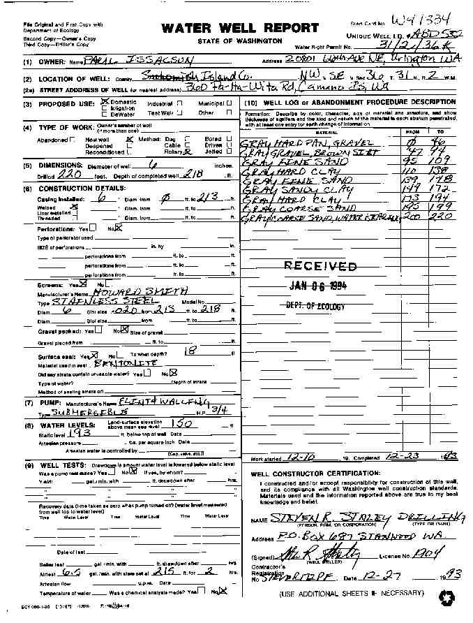
PAUL ISSACSON
Public Land Survey: NW, SE, S-36, T-31-N, R-02-E
County: ISLAND, Well Address: 360 PA HA WITA RD, CAMANO ISLAND
Well Log ID: 86506, Well Tag ID: ABD532, Notice of Intent Number: W041334
Well Diameter: 6 (inches), Well Depth: 218 (feet)
Well Type: Water, Well Completion Date: 12/23/1993, Well Log Received Date: 1/6/1994
DEPT OF NATURAL RESOURCES
Public Land Survey: NE, SW, S-36, T-31-N, R-02-E
County: ISLAND
Well Log ID: 351114
Well Diameter: 8 (inches), Well Depth: 197 (feet)
Well Type: Water
wr23136deptnatres1954-62kounkel
wr23136pahawitaissacson1993staley